Unless you know the city roads very well or a pro taxi driver, you probably don’t need to remember specific street names while getting around a city, and it’s easy to miss signs while you’re concentrating on the road. But for people who are bad with directions, Google is experimenting landmark-based navigation using fast food restaurants to show directions.
Using nearby landmarks as points of reference, instead of telling you to turn right onto Africa Avenue, Google might tell you to turn after the KFC.
The feature is only been seen in New York City, and Google hasn’t yet announced whether it will be rolled out globally. Currently, Google Place Search API, lets users find nearby stores, services and points of interest anywhere in the world.
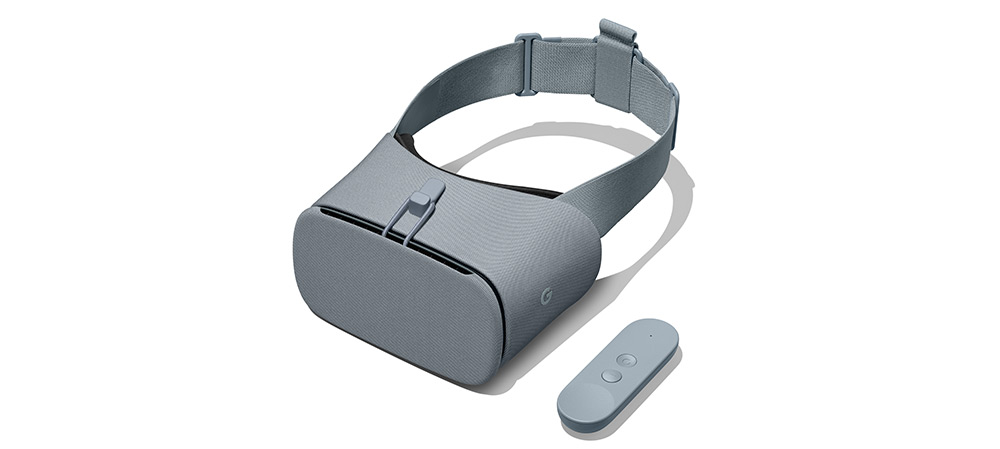
The news comes just a day after Google announced that it’s using laser scanning, drones and photometry to create virtual copies of historic landmarks that have been lost or destroyed over the years. The models are available via a new Arts and Culture app for iOS and Android, and you can explore them in 3D using a Google Daydream headset.
If Google is able to combine them both in augmented reality it will eventually make driving an interesting and educational experience – "take a left at the ancient Qutub Minar, and then continue straight to the McDonald's".
Google recently introduced “wheelchair accessible” routes in transit navigation to make getting around easier for those with mobility needs.
To access the “wheelchair accessible” routes, type your desired destination into Google Maps. Tap “Directions” then select the public transportation icon. Then tap “Options” and under the Routes section, you’ll find “wheelchair accessible” as a new route type.
When you select this option, Google Maps will show you a list of possible routes that take mobility needs into consideration. The feature is rolling out in London, New York, Tokyo, Mexico City, Boston, and Sydney, with more cities to follow later.
“We're looking forward to working with additional transit agencies in the coming months to bring more wheelchair accessible routes to Google Maps,” the company said.