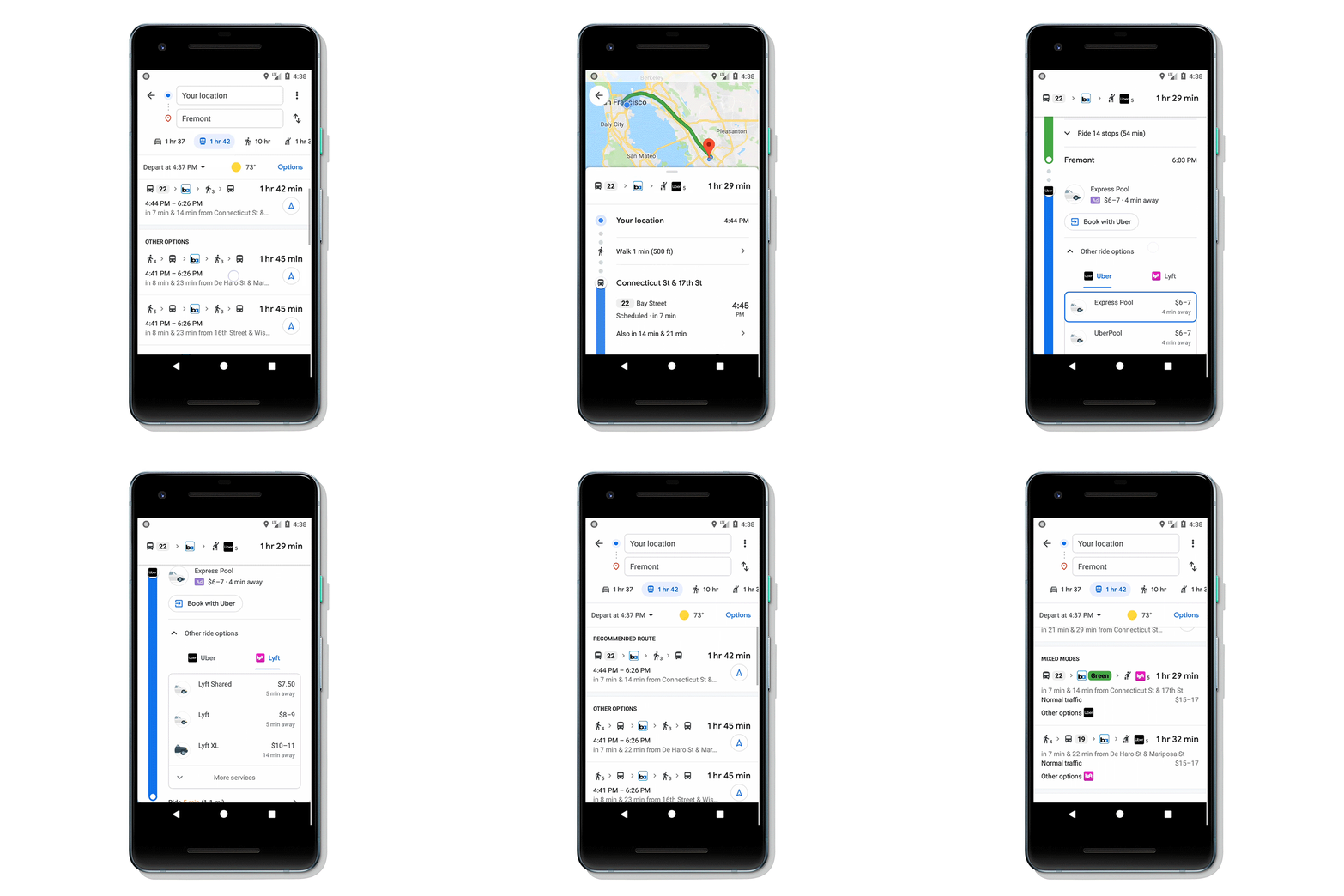
Google has decided to make its Maps multimodal. The company has announced a new feature that combines transit directions with biking and other ride-sharing options. The new feature will let consumers go from point A to point B using a variety of transportation modes.
Enter your destination in the search box, tap on ‘Directions’ and then on the transit tab. From there, you’ll automatically see routes that feature ridesharing and cycling options paired with transit directions. If you’re taking a ridesharing vehicle, you’ll see helpful information about each leg of your trip: how much your ride will cost, how long the wait is, if there’s traffic on your ride, and when your bus or train departs. You can also choose your favourite rideshare provider and other available ride options like pool or economy.

If you’re biking, then you’ll see routes tailored for cyclists along with everything you need to know about the transit portion of your journey. All of this information is automatically factored into your total travel time and ETA so you can know exactly when you’ll get to your destination.

According to Google, transit directions paired with biking and ridesharing will start rolling out in the coming weeks on Android and iOS in 30 countries around the globe, with more coming soon.
Earlier in August, Google updated Maps with new features designed to simplify your travel. Consumers can now use Google Maps to view all of their flight and hotel reservations in one place. A beta feature called Live View is also introduced, which uses augmented reality (AR) to allow users better see which way to walk. Google Maps now puts arrows and directions in the real world to guide your way.
